Visit the Beautiful Columbia River Gorge Waterfalls
When I first arrived in Portland, Oregon, I asked my new coworkers for their top recommendations of what to see and do. Without fail, every person I asked recommended the Columbia River Gorge (or “The Gorge” as the locals call it).
Since then, I’ve visited the Gorge several times. Below you will find the itinerary that I used when I brought my visiting family to see this incredibly scenic area. I’ve also included some tips you’ll need to know for planning your own visit.
**looking for more day trips close to Portland? Click here**
What is the Columbia River Gorge?
The Columbia River Gorge is the national scenic area surrounding the Columbia River canyon. It’s 80 miles long and 4000ft deep.
For this itinerary, we will be focusing on the section of the Gorge just east of Portland, Oregon called the waterfall corridor (this is different than Oregon’s Highway of Waterfalls located further south). I chose this section because it is both spectacularly beautiful and easily accessible from Portland. Most of the stops in this itinerary are do-able for people of any fitness level with options to add in more hiking for those that want it.
Getting to the Gorge
To get to Columbia River Gorge from Portland, take i-84 east. Depending on where in Portland you are coming from, it will only take about 20-30 minutes before you run into beautiful scenery. I recommend making the Crown Point Vista house your first stop- for this stop, you’ll take exit 22 off of i-84.
Parking and Transportation in the Gorge
Before I go any further, I need to address the parking situation in the Gorge. Parking is particularly difficult during summer months and on weekends. You can work around most of this if you get started early or can go on a weekday, but you will most likely still run into problems with the Multnomah Falls parking lot.
Note that parking at the Multnomah Falls parking lot requires a timed entry permit from late May until early September as well as a parking fee of $20 during peak hours. Learn more about the timed entry permits at recreation.gov. The timed entry permit still does not guarantee you a parking spot.
To avoid the Multnomah parking fiasco, I recommend using the Sasquatch Shuttle. This shuttle service has a parking lot near Bridal Veil Falls (This is a different lot that the actual Bridal Veil falls parking lot. Don’t worry, it’s pretty easy to find using signs displayed next to the road). The Sasquatch bridal veil lot costs $5 to park and gives you access to the free shuttle to and from Multnomah Falls. Oh, and I should mention- Sasquatch shuttle is dog friendly!
There is also an option to book a waterfall loop shuttle pass through Sasquatch Shuttle in case you don’t want to have to worry about parking at all. I chose to just use the free Multnomah Falls shuttle, and I was able to find adequate parking for the other stops on this itinerary. I did, however, get an early start on one occasion, and I went on a weekday the second time.
Now that parking is out of the way, let’s start our tour through the Columbia River Gorge Waterfall Corridor!
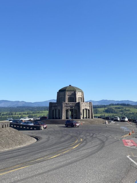
Crown Point Vista House
Take exit 22 off of i-84 east from Portland and follow the signs up winding hills to get to the Vista House at Crown Point.
Now, I know this is not a waterfall, but trust me the view is worth it! I almost skipped this one when planning my first Gorge trip, and I’m really glad I didn’t.
The Vista House was constructed in 1917 as a place for travelers to rest as they made their way down the Columbia River Gorge. Inside the house, you’ll find a small educational exhibit, a gift shop, a cafe, and restrooms. The views, however, are where the Vista House truly shines as it provides an excellent vantage point for viewing the Gorge from up high.
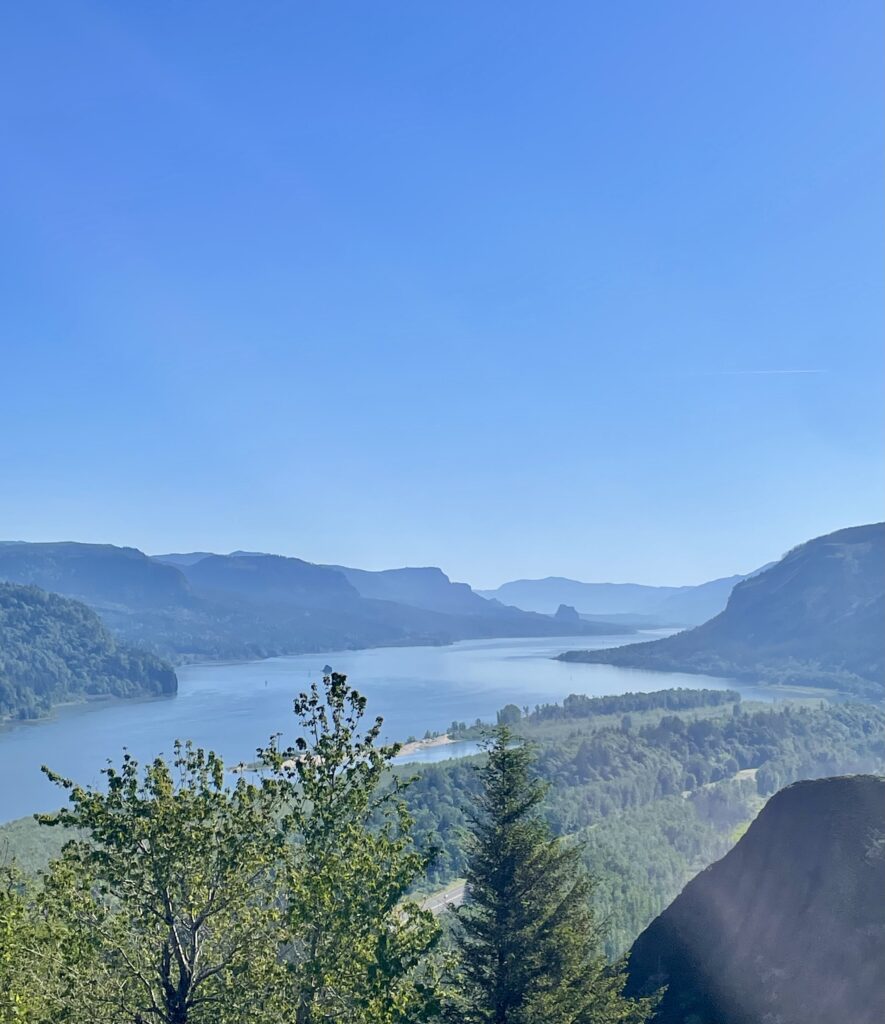
When you are finished taking in the views, continue down the road the winds around the Vista House (opposite to where you came from) to get to our first waterfall. This will take you to the Historic Columbia River Highway– which is where the rest of this adventure is based.
A quick note here- once you are on the Historic Columbia River Highway, signs for the waterfalls are well posted and easy to find. It’s a straight shot through, so don’t worry when you lose cell reception.
Latourell Falls
The first waterfall on our itinerary is Latourell Falls. You have the option here to take a short walk up the stairs for one view of the falls as well as another short walk down to the base of the waterfall. From the base of the waterfall, the trail continues onwards to Upper Latourell Falls. If you choose to take the trail, it’s listed as a 2.4 mile easy to moderate loop. I had family with me when I visited the Gorge, so we opted out of the additional hiking to save time/energy for the remaining waterfalls.
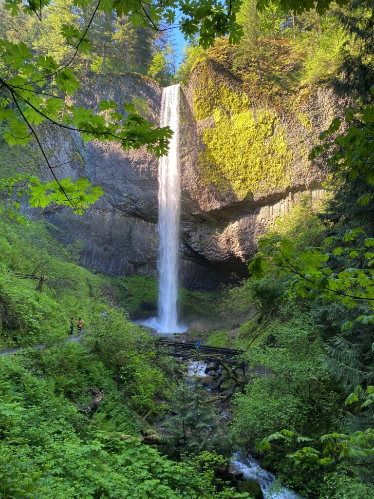
After Latourell Falls, continue along the Historic Columbia River Highway to Bridal Veil Falls.
Bridal Veil Falls
Bridal Veil Falls requires a 0.5 mile, easy out and back hike.
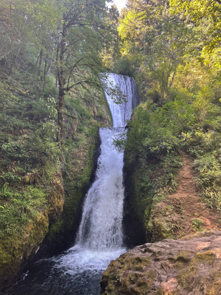
When you are finished at Bridal Veil Falls, I recommend heading to the Sasquatch Shuttle lot for our next 2 stops: Wahkeena Falls and Multnomah Falls.
Wahkeena Falls
While Wahkeena Falls has a small parking lot, it is very close to Multnomah Falls. Typically, parking is completely full in both of these lots. You aren’t allowed to walk on the road between the two waterfalls, but there is a 0.5 mile easy trail that connects the two. I suggest taking the Sasquatch Shuttle to Multnomah and hiking the 0.5 mile trail to Wahkeena.
There are more hiking options here if you want it. For example, you can hike 1.4 miles (moderate) from Wahkeena Falls to Lemmons Viewpoint.
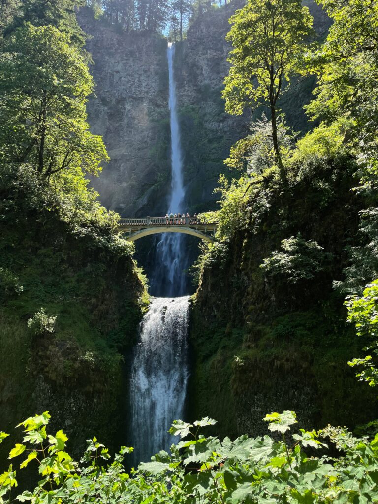
Multnomah Falls
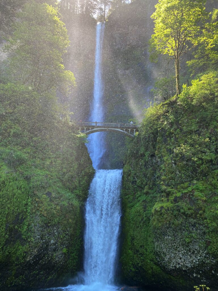
There is no doubt that Multnomah Falls is beautiful, but it is also very crowded. This stop comes with a little restaurant and gift shop. The best view of the waterfall is from the base (no hiking required), but there is an option to hike to the top of the falls. If you opt for the hike here, it’s 2.4 miles round trip and rated as moderate.
Horsetail Falls
The last waterfall stop on our list is Horsetail Falls. If you are up for more hiking, you can get to another waterfall- Ponytail Falls. In my opinion, the second waterfall is well worth the effort.
Another tip- when you are looking for stops and waterfalls in the Columbia River Gorge Scenic Area, look for the green signs like the one below. I made the mistake of stopping too early for horsetail falls because of a smaller sign that I saw. This still got me to the waterfall, but with quite a bit more hiking.

There is a parking lot across the road from Horsetail Falls. Getting to Horsetail Falls does not require any hiking.

If you are up for more hiking, you can take the trail to the east of Horsetail Falls. Hike 0.4 miles uphill to get to Ponytail Falls. The thing I love about Ponytail falls is that you can hike behind the waterfall.
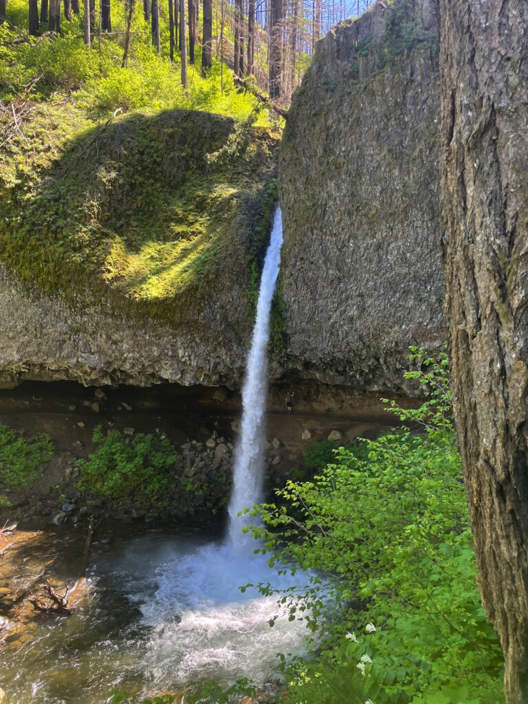
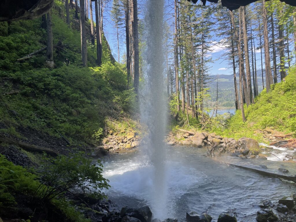
Now you have the option to continue the hike after Ponytail Falls to Oneonta trail or turn back the way you came. The full trail is an easy to moderate 2.6 mile loop. You’ll get glimpses of Oneonta Gorge, Oneonta creek, and the smaller Oneonta Falls. This is the trail I accidentally took when looking for Horsetail Falls, but I did it in reverse. When you get to the end of the hike, there is a path through a little tunnel that will get you back to Horsetail Falls completing the loop.
When You Are Finished with Hiking and Waterfalls
While there is a ton more to see in the Columbia River Gorge, my guess is that you’ve had your fill of hiking and waterfalls by this point. Now you have the option to turn around and head back to Portland or continue onto Hood River for food and beer at one of my favorite breweries, pFriem.
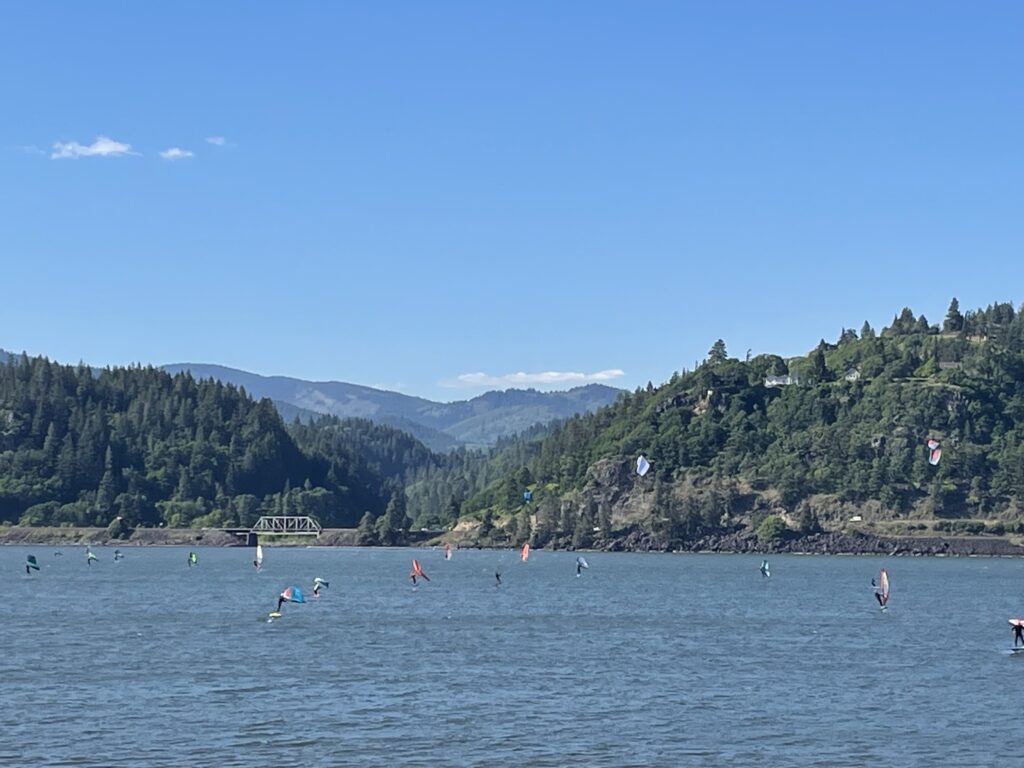
If you want to add pFriem into your itinerary, continue east on the Historic Columbia River Highway towards i-84. It’s around a 40 min drive, but mostly a straight shot until you get to the Hood River exit. The 40 minutes continues to be very scenic, so I didn’t mind the distance at all. pFriem is to the left after you exit. It’s on the river. Enjoy a beer, some delicious food, and enjoy watching the kite surfers that populate the river here.
If you want another day trip near Portland, check out this roadtrip on Oregon’s coast.

Julie (Juls for short) is the founder of travelingwithjuls.com. She is a registered nurse turned travel nurse. She loves adventure and learning about new places. Her goals are to help other nurses learn about travel nursing, and to share information about the locations/destinations she lives in for 3+ months at a time.